
Finding Your Banning Neighbors on the Block
A block lookup is a set of official and community layers. The source determines whether a result describes a parcel, a person’s registration, a project, or a public contact.
| Source | What it shows about a block | Access |
|---|---|---|
| Map My County | Parcel shapes, neighboring APNs, jurisdictions, selected layers | Free visual browsing |
| Riverside assessor | Parcel, assessment, situs, legal description, map clues | One address or APN at a time |
| Banning SmartGov | Primary-owner display, parcel notes, applications | Free address, APN, or starts-with owner search |
| Riverside recorder | Transfers, liens, easements, named party roles | Free index from 1974, paid copies |
| City permits and planning | Project contacts, contractor, work, dates | SmartGov or focused CPRA request |
| Voter file | Permitted registration and residence fields | Approved purpose only |
| Historical phone pages | Listed subscriber at an issue date | Library of Congress reels, 1938 to 1959 |
An owner result is not an occupant result. A permit applicant is not a household member. A historical subscriber is not a current neighbor. Those boundaries keep a Banning neighbors search useful without making claims the source cannot support.
Mapping a Banning Neighbors Block
Map My County supports an adjacent-parcel method rather than a verified public radius export. Start with the subject address, enable parcel lines, zoom until nearby polygons are distinct, and select each adjoining parcel. Record the map order and source date so the block can be revisited.
- Locate the address in the Riverside Map My County viewer.
- Turn on parcel boundaries and select the subject polygon.
- Click each adjoining parcel, noting APN, situs, jurisdiction, and any public identify result.
- Pan along both sides of the street and include common-area, vacant, rear, and flag parcels separately.
- Carry selected APNs to Riverside assessor and, where needed, SmartGov or the recorder.
Use measure or print controls only for orientation. A map image is not a survey, and visual proximity does not prove that an alley, easement, or flag-lot relationship is a shared boundary.
For a full named-street sequence, move to the Banning street directory rather than repeating every parcel on a block page.
Click Parcels Around Banning Neighbors
The surrounding parcel worksheet should hold a stable row for each polygon: map order, side of street, situs, APN, city-jurisdiction flag, SmartGov display role, assessor verification date, and recorder instrument if one is checked. Start at a cross street and move consistently to the next cross street. Repeat the opposite side.
Some Banning SmartGov cards say “NO SITUS ADDRESS.” Do not drop those parcels. An APN, map position, common-area label, or legal description may explain why the card lacks a street number. Vacant and rear parcels can be part of the block without looking like a conventional address.
SmartGov’s local search is at Banning public Parcel Search. Its primary-owner display is a city-system clue and should be checked against Riverside ACR.
Carry Banning Neighbor APNs Into SmartGov
Once a neighboring APN is known, SmartGov can expose a city application or parcel card that an address-only search might miss. The search field accepts parcel number, address, or owner name. Results are ordered by parcel number and paginated. A card can show situs, city, ZIP+4, primary-owner display name, and public application notes.
Use the display name only to choose a verification route. Riverside’s assessor web interface does not offer owner-name search, so the name can be carried to the recorder as a grantor or grantee clue. Confirm the parcel and legal description before joining a name to a block worksheet.
A discrepancy between SmartGov and ACR may reflect timing, transfers, data imports, or different roles. The county roll and recorded instrument control a legal ownership question; the city display can explain a permit or application question.
Separate Banning Neighbors From Owners
Property research is not a household census. The assessor can tie an APN to an assessment and sometimes a mailing route. A deed names a party to an instrument. A permit names an applicant, owner authorization, contractor, or project contact. A phone listing names a subscriber for a dated issue. None of those fields names every adult who may be present.
- Owner
- A party shown in an assessment or recorded ownership role, subject to the source’s date and data rules.
- Occupant
- A person using the address. Public parcel systems do not provide a complete occupant list.
- Mailing address
- A correspondence route that can differ from the situs.
- Project contact
- An applicant, contractor, or authorized party tied to work at the parcel.
Keep these labels in the worksheet. A Banning neighbors result becomes less accurate when every public name is recast as a household member.
Banning Neighbors and Voter Data
California registration status is a voter’s own authenticated route. The live form uses first name, last name, date of birth, and conditional identity matching. A full voter-file request requires a permitted purpose, requester and organization details, geographic scope, fields, recipients, security or storage terms, certification, and signature.
Elections Code section 2194 restricts voter-registration information to defined election, political, governmental, scholarly, and journalistic uses, while section 2187 describes the index and fields. Driver-license and signature data, Social Security information, and protected addresses are withheld. Voting history shows participation, not ballot selections.
Use the California voter status route for a personal check and Riverside Registrar at 951-486-7200 for a permitted file question. A casual list of Banning neighbors is not an appropriate use.
Banning Neighbor Permits Describe Projects
Permit and code files can add a timeline to a block. A file may name the project address, APN, applicant, contractor, license number, scope, notices, and final disposition. That evidence can explain a new structure, alteration, or change of use. It cannot establish that the named applicant lived at the parcel or that a nearby household belongs to the project.
Search released files in Banning Laserfiche or NextRequest. If a file is identifiable but not online, ask for an existing report or parcel file by address, APN, record type, and limited dates. The city’s advice says specificity prevents delay. Complaint-source identities and other protected fields may be withheld.
Use the Banning records page for Laserfiche and NextRequest routes.
Banning Neighbors in Pass Geography
Banning’s block clues sit in a larger pass geography. Downtown and Ramsey Street, North Banning, the I-10 corridor, Sun Lakes, the airport area, San Gorgonio Avenue, and nearby Cabazon or Morongo lands can appear in catalogs and community conversation. A neighborhood name is not necessarily a city boundary or an official records district.
The research did not locate a complete official citywide directory of neighborhood associations with public member rosters. HOAs are private associations. Secretary of State entity filings may identify a corporate agent, but membership lists remain private. Neighborhood Watch contacts should go through Banning Police and should not be converted into a resident roster.
Use community names as search terms, then confirm a parcel with GIS and the county assessor. A Banning neighbors lookup should retain both the named place and the official jurisdiction.
Banning Neighbor Civic Directories
Public staff directories and civic organizations can help route a question without naming private households. Banning’s staff directory lists department, employee name, title, and public office contact information where published. The city’s local-history referrals include the San Gorgonio Pass Historical Society, Gilman Historic Ranch and Wagon Museum, and Malki Museum. These are public contact points, not neighbor rosters.
For a records question, use the office role rather than guessing at a private address. The city staff directory is available at Banning staff directory.
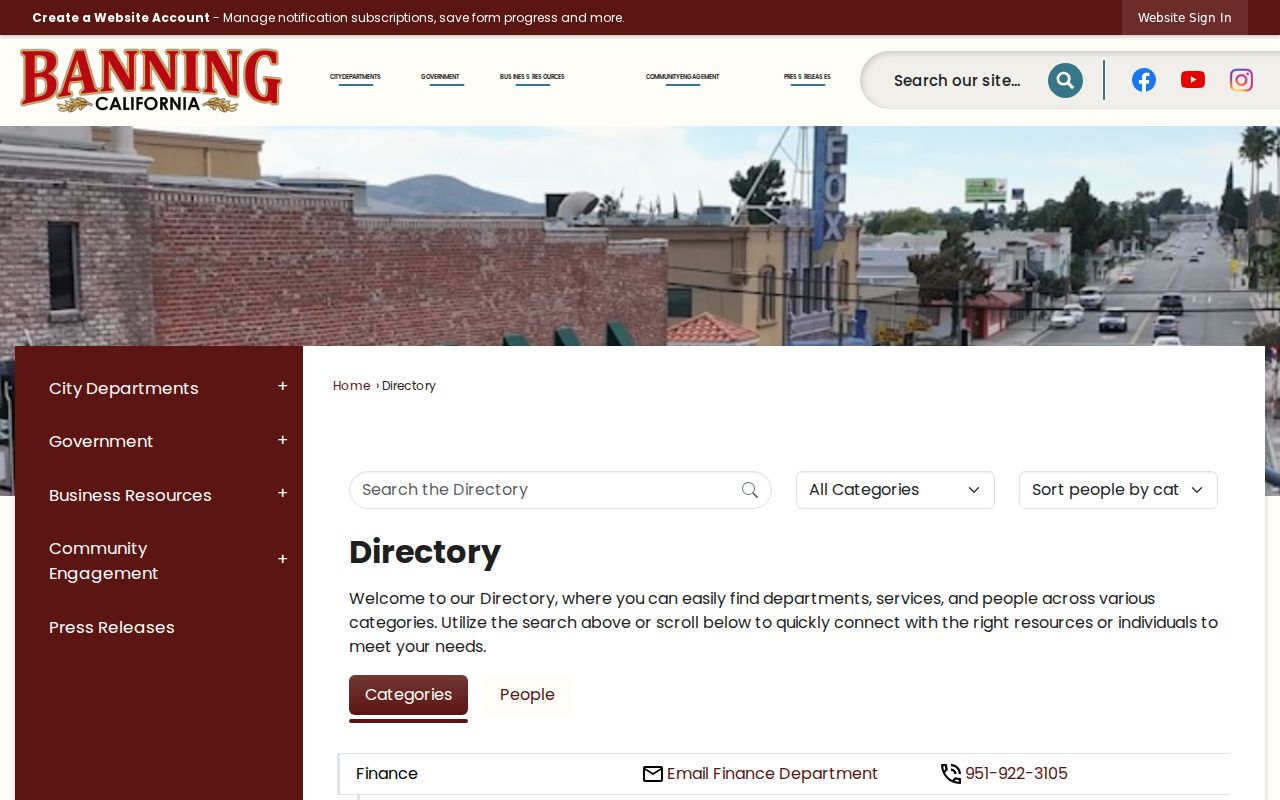
A civic contact can help identify the right custodian for a block record. It does not identify the people who live near the office.
Protected Banning Neighbor Addresses
California Safe at Home gives eligible survivors and certain public officials a substitute mailing address and protects the actual address within program rules. A missing address can therefore reflect a safety program, not a failed search. Do not combine other clues to defeat the confidentiality program.
Recorded documents can have separate redaction rules, and voter data has protected-address handling. The correct research note is “address not public in this source,” followed by the custodian or program route. The wrong response is to search for a private substitute.
Program information is available through California Safe at Home.
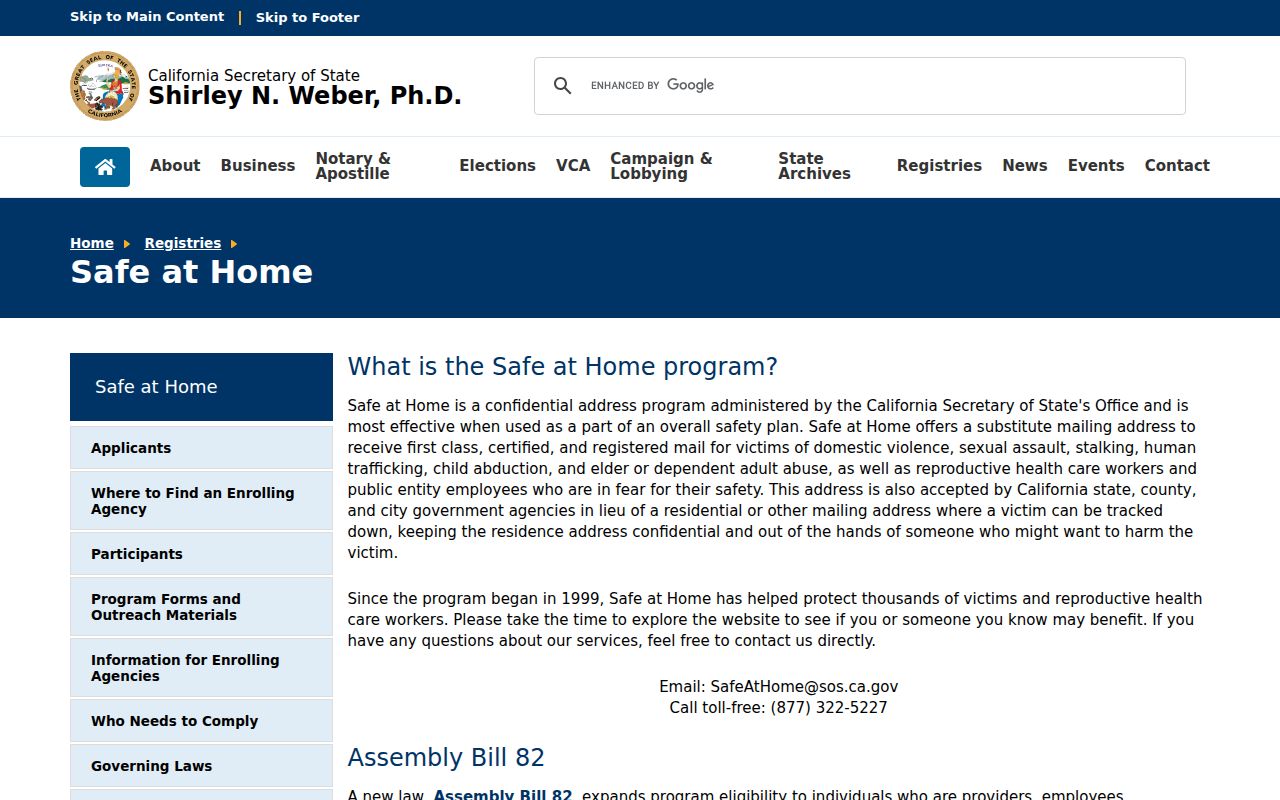
Confidentiality is part of the record’s meaning. A protected address should remain protected.
Official Rolls Versus Banning Neighbor Tools
Commercial neighbor tools often combine public and commercial data, merge people with similar names, and preserve stale addresses. Official records are narrower, but their roles and custodians are visible. The useful comparison is not which tool produces the most names. It is which result can be checked and corrected.
| Official route | Commercial category |
|---|---|
| Parcel or deed tied to an APN and recording date | May blend addresses from several sources |
| Defined record role, such as owner, grantor, or applicant | May label a person without a clear role |
| Custodian can explain coverage and correction | Publisher controls an opt-out or correction process |
| Use remains limited by voter, court, and privacy rules | Public aggregation does not remove lawful-use limits |
For a Banning block, official layers are enough to map parcels and public roles. They are not permission to publish a synthesized household list.
What a Banning Neighbor Search Leaves Private
A Banning neighbor lookup can show adjacent parcels, public ownership or project clues, historical listings, and public civic contacts. It cannot show every household member, utility customer, delivery recipient, or protected participant. A ZIP or postal label cannot fix the block boundary, and a property owner may not occupy the parcel.
Lawful use. Use neighbor research for civic curiosity, family history, reconnecting, property context, or personal safety awareness. Do not use a result to watch, harass, threaten, or harm anyone.
For a whole named street, use the Banning street directory. For one person, use the resident lookup. For a block, keep the map worksheet and its limits visible.