
Search the Banning Street Directory by Address
A useful street directory walk turns one address into a set of checks. Banning SmartGov can supply a starting parcel card with an address, APN, and primary-owner display name. Riverside’s assessor adds the assessment view and map route. Map My County shows the parcel in its block and jurisdiction. The recorder then turns a current owner clue into a grantor or grantee search. City permit and planning files add a project timeline, while older telephone pages may show a listed subscriber.
- Enter the street address in Banning SmartGov Parcel Search. Save the APN and note whether the card says “NO SITUS ADDRESS.”
- Check the same address or APN in the Riverside assessor search, keeping situs and mailing fields distinct.
- Open Map My County, select the parcel, and inspect nearby polygons, jurisdiction, and useful map layers.
- Use the current owner clue as a recorder grantor or grantee search, then confirm the deed by legal description, APN, and recording number.
- Ask Banning for an existing permit or planning file by address and APN, and use historical phone pages only as dated subscriber evidence.
The resulting street directory is a parcel worksheet, not a published household roster. It is strongest when every row shows the source, date checked, record role, and coverage limit.
Banning Assessor Fields Start the Parcel Trail
The Riverside assessor interface accepts an APN, PIN, or property address. A number and street name can return parcels without a name search. For the PIN route, enter the first nine digits and leave off the dash and check digit. The form has no public owner-name field, which is why Banning SmartGov can be a faster local name bridge while the county remains the verification source.
| APN | Text field for the assessment parcel number. |
|---|---|
| PIN or assessment number | Use the first nine digits only; omit dash and check digit. |
| Property address | Street number plus street name, such as 123 Main. |
| Search | Runs the address or parcel lookup. No public owner-name box is offered. |
A parcel result may include situs, legal description, assessment values, transfer or sales clues, and map or permit links. A mailing address is a tax-mail route, not a resident statement. A different mailing address may reflect an owner elsewhere, a mailing preference, or an organization. The county’s public terminals and microfiche are the fallback for a researcher who needs office help or a broader assessment view.
Field behavior and public-terminal guidance appear at Riverside ACR assessor services.
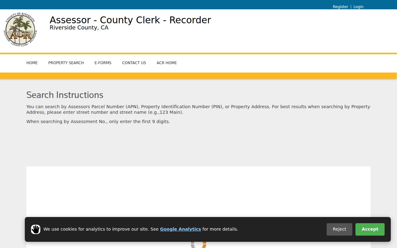
The assessor search is the address key in a Banning street directory. It does not, by itself, establish who occupies the improvement.
Map a Banning Street Parcel by Parcel
Map My County is the visual part of the street directory. Zoom to Banning, turn on parcel boundaries, select the subject polygon, and inspect its identify pop-up. Pan along both sides of the street and select each adjoining polygon. Keep alleys, easements, flag lots, common areas, and vacant parcels in separate notes. There is no verified public radius-export function, so individual selection is the documented method.
Layer names can change. Jurisdiction, zoning, general plan, flood or hazard, district, aerial, road, and assessor-parcel layers may be available, but the selected layer and date should be written into the worksheet. Measure and print controls help with orientation. A GIS image is not a survey, and visual closeness does not prove that two lots share a boundary.
The Banning street directory becomes more reliable when the map order is fixed. Start at a cross street, record one side to the next cross street, then repeat on the opposite side. Open the Riverside Map My County viewer as the parcel sequence is recorded. This avoids duplicate corner lots and missed rear parcels.
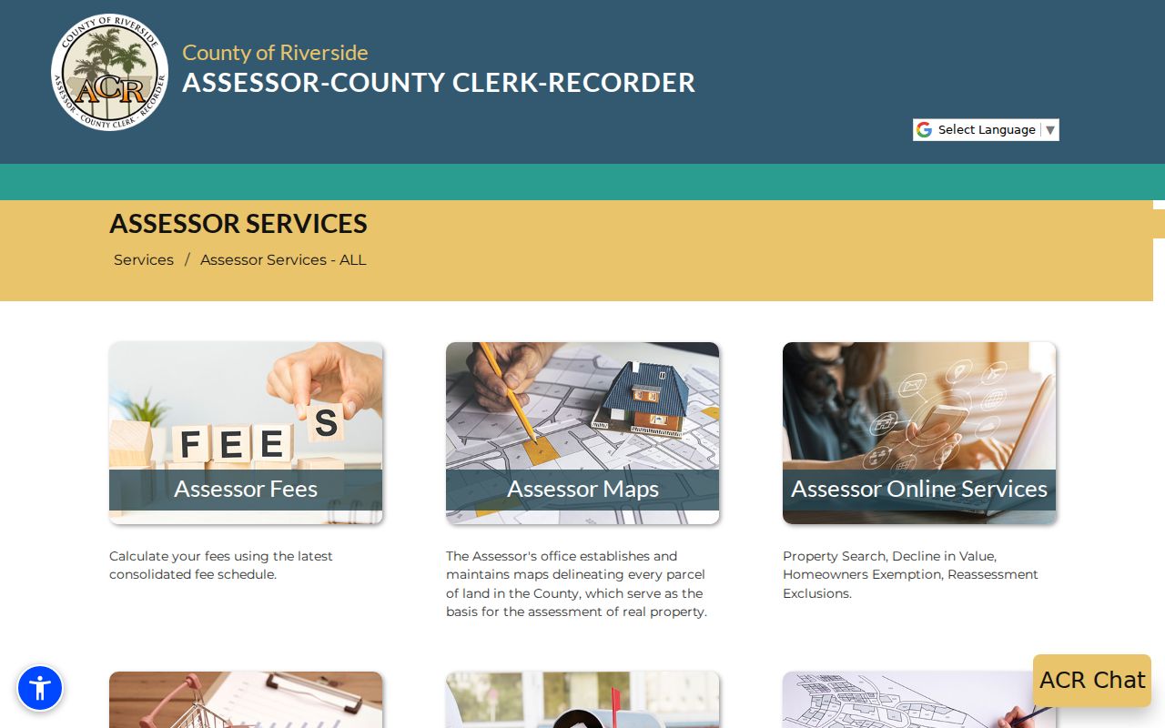
County map and property tools support parcel identification. They do not turn the map into a list of every adult at a street address.
Address Records in the Banning Street Directory
Several address-keyed record sets can be walked together. The connection is usually the APN or situs, not a shared promise that each source names the same person.
| Record set | Keeper | What it shows | Access |
|---|---|---|---|
| SmartGov parcel card | City of Banning | APN, situs, primary-owner display, application notes | Free public search |
| Assessment parcel | Riverside ACR | APN or PIN, situs, legal description, values, map and transfer clues | Free address or APN search |
| GIS parcel map | Riverside County GIS | Adjacent polygons, jurisdiction, selected map layers | Free visual viewer |
| Deeds, liens, easements | Riverside Recorder | Party roles, document type, date, number, legal description in image | Free index, paid copies |
| Permits and planning files | Banning Community Development | Owner or applicant, project, contractor, scope, dates | SmartGov or CPRA request |
| Voter registration | Riverside Registrar | Permitted registration fields and residence data | Authenticated or approved use |
Use the parcel to bridge the first three sources. Use the owner clue to begin a recorder search. Use the document number and legal description to verify the chain. A full street survey should not be made from visual map proximity alone, and voter information cannot be treated as a casual block directory under Elections Code section 2194.
Trace a Banning Parcel to Deeds
Riverside’s recorder index is keyed to parties and instruments. The direct name route uses Last First MI, with a last name and first initial broadening the search. Advanced search offers exact and wildcard behavior. Operators include plus for a required term, minus to exclude, dollar sign for sounds-like, question mark for a questionable character, asterisk for starts-with, double asterisk for contains in selected fields, a vertical bar for alternatives, parentheses for grouping, quotation marks for a phrase, and tilde for fuzzy or proximity matching.
Start exact. Loosen one variable at a time so a false match can be explained. Inspect document number, recording date, type, party role, and book or page when present. A deed image holds the legal description, signatures, vesting, and return address. The index does not prove that a party lived at the property.
The Riverside advanced recorder search shows the fields and coverage cutoffs.
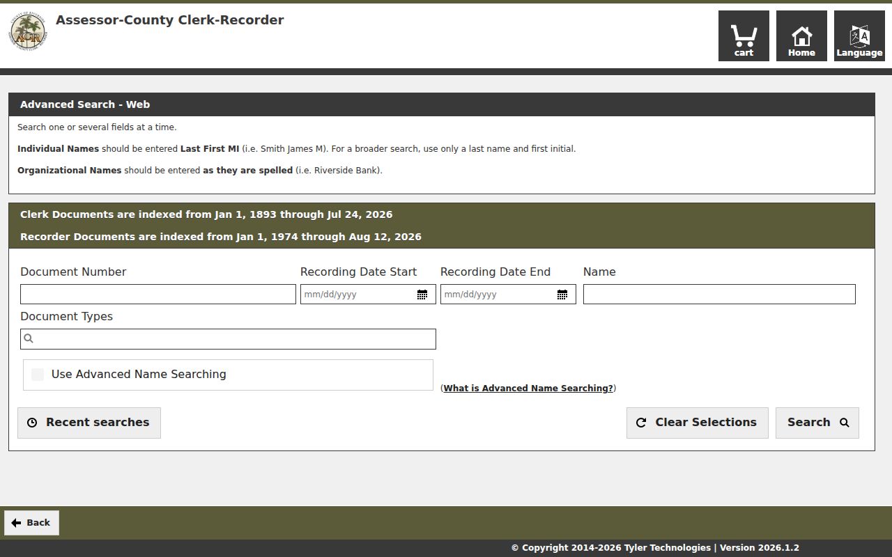
For older or ambiguous street work, save the search syntax and the date window. Riverside’s online recorder index begins January 1, 1974; earlier land books are an office or archive route.
Banning Permit Notes Add a Project Timeline
Banning SmartGov can show public application notes alongside a parcel card. A permit or planning file may identify an applicant, owner authorization, contractor or license number, project scope, date, and status. Those roles help explain construction or a change of use. They do not make the applicant a resident. The city’s published permit statistics run from 1981 through 2021, but that broad series is not a verified cutoff for complete parcel-level digital files.
Search the city’s Laserfiche library and NextRequest archive for an existing permit report or ask for one parcel file. Include the address, APN, document type, and a narrow period. Code cases may include notices, correspondence, and final disposition; complaint-source identities can be protected. A CPRA request retrieves existing records and does not require the city to create a new street roster.
The city’s public document library is shown at the Banning Laserfiche repository.
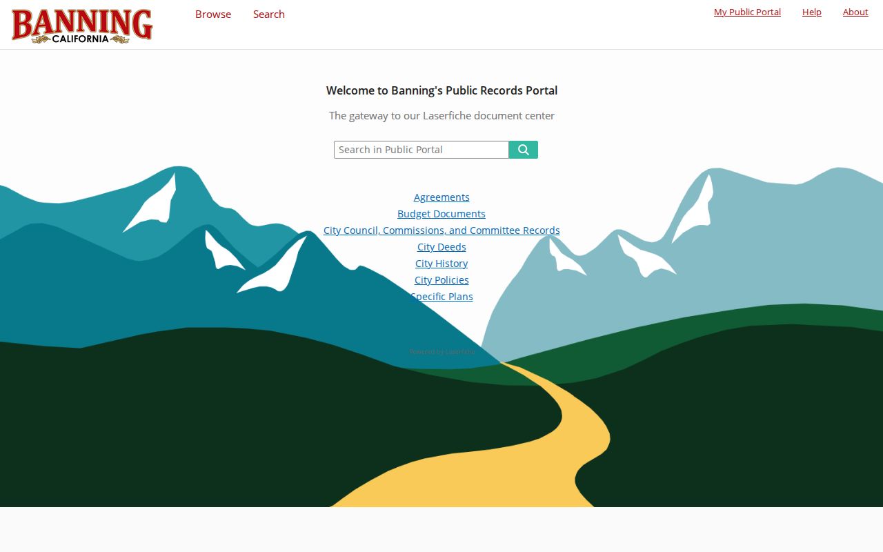
Permit notes are best read as project evidence. They can place work at a parcel in time while leaving occupancy and household questions open.
The local parcel and application route is also visible in Banning SmartGov Parcel Search.
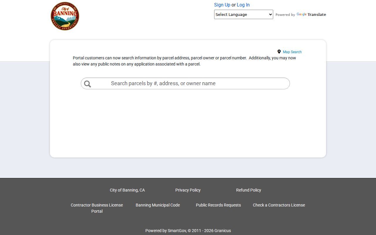
SmartGov can expose a primary-owner display and public notes, but Riverside ACR remains the verification route for a legal ownership question.
What a Banning Mailing Address Means
A Banning address can describe a postal route, a situs, a mailing destination, or a jurisdiction. Those are different fields. An owner’s mailing address may match the parcel, differ from it, or be hidden from a public view. A postal city of Banning and ZIP 92220 can extend beyond incorporated limits. Use Map My County for jurisdiction, the assessor for parcel identity, and the recorder’s legal description for land identity.
- Situs address
- The street location of the land or improvement in an assessment or permit record.
- Mailing address
- The destination for tax or other correspondence. It is not automatically the owner’s home.
- APN
- The assessment parcel identifier. It is not the full deed description.
- Plat
- A recorded map that helps define lots, blocks, streets, and subdivision relationships.
- Criss-cross directory
- An address-first directory format. No verified Banning criss-cross run was located in the research sweep.
Do not fill an address row with an inferred household member. Keep the exact field label that the custodian uses, then note what the field can and cannot support.
Old Banning Phone Pages
The Library of Congress has two verified Banning telephone-directory reels: January 1938 through December 1949 and December 1950 through January 1959. White pages can show a surname, given name or initial, address, exchange, and number. Yellow pages group businesses by category. Search OCR, then inspect the page image because columns, abbreviations, and imperfect type can change a match.
For street work, check whether the target issue includes a street guide or reverse section. No confirmed Banning criss-cross run was found in an official online finding aid. A phone subscriber is not necessarily an owner, and a disappearance can mean a move, an unlisted number, death, or a service change. Pair the listing with a deed, census, obituary, or newspaper before calling it a former household.
The full historical shelf and digitized directory method are reserved for the Banning city directory collections page.
Banning ZIP Geography and Streets
ZIP 92220 is the confirmed standard Banning postal identity, but a ZIP is a mail route, not a city-limit line. Some 92220 addresses lie outside the incorporated city. Nearby 92223 and 92230 belong to Beaumont and Cabazon postal identities and should not be promoted as Banning-serving ZIPs without a parcel-level check. A street directory row at the boundary needs USPS, GIS, assessor, and recorder confirmation.
Official Banning planning material lists streets such as W. Jacinto View Road, S. San Gorgonio Avenue, S. Woodland Avenue, E. George Street, E. Williams Street, W. Westward Avenue, N. 16th Street, and E. Nicolet Street with 92220. That supports search terms but is not a delivery-polygon file. The Banning ZIP code directory page handles the postal and municipal distinction in detail.
Limits on the Banning Street Directory
A Banning street directory cannot supply non-owner occupants, household members, utility customers, DMV addresses, or every delivery recipient. The county owner view can identify a role tied to a parcel. The voter file has restricted purposes. A permit names a project role. A phone book names a listed subscriber. None is a complete resident list.
Lawful use. Use address records for personal research, property history, family history, civic curiosity, or personal safety awareness. California Penal Code section 646.9 and related laws make stalking, threats, and harassing conduct serious matters. Do not use a street directory to watch, intimidate, or harm anyone.
For a current street chain, record the parcel, source, date, and role. For one person, move to the Banning resident lookup process. For past households, pair deeds with the historical collections instead of treating a current parcel card as a time machine.