
Banning ZIP Code Directory Coverage
The verified ZIP coverage for a Banning ZIP code directory is narrow enough to state plainly. The postal area is broader than the incorporated city, and no separate Banning PO-box-only or unique institutional ZIP was verified in the research sweep.
| ZIP | Areas covered | Post office | Notes |
|---|---|---|---|
| 92220 | Banning and surrounding San Gorgonio Pass postal area | Banning Post Office | Postal boundary extends beyond incorporated limits |
| 92223 | Beaumont postal identity | Beaumont | Neighbor comparison, not a Banning-serving ZIP |
| 92230 | Cabazon postal identity | Cabazon | Neighbor comparison, not a Banning-serving ZIP |
USPS city and state lookup and the official post-office locator control current mailing information. Census ZCTA 92220 is a statistical approximation, not the USPS delivery polygon. A planning list of Banning streets using 92220 supports search terms but is not a boundary file.
Why 92220 Is Not Banning's City Line
A ZIP code routes mail. It does not define incorporation, zoning, school attendance, tax jurisdiction, or a parcel boundary. Parts of the 92220 postal area can fall outside the city. Conversely, a searcher who assumes every Banning mailing label is inside the city can send a city records request to the wrong custodian.
Use the four labels separately: USPS for delivery city and ZIP, Map My County for incorporated jurisdiction and parcel context, Riverside assessor for the APN, and the recorder for the legal description. If the four labels differ, retain the difference in the record rather than forcing the address into a single geography.
Neighboring place names help with catalog searches. Search Banning, San Gorgonio Pass, Beaumont, Cabazon, Morongo, and relevant road names, but verify the final parcel with an official map or record.
Verify a Banning ZIP With USPS
The USPS city and state form is the cleanest first check for a mailing label. Enter Banning and California, then compare the returned ZIP with the address written on the record. The USPS result answers a delivery question. It does not tell you whether the parcel is inside Banning’s incorporated boundary or which county department holds a record.
Use the USPS Banning city and state lookup for the postal route.
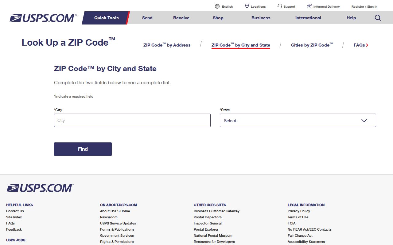
The USPS form confirms the postal identity used in a Banning ZIP code directory. A GIS and assessor check is still needed for property research.
Check a Banning ZIP Parcel in GIS
Map My County lets a ZIP-scale searcher zoom across the 92220 area, enable parcel boundaries, select a polygon, and inspect jurisdiction or other available layers. It is useful for boundary-edge questions and for locating a street before moving to the assessor. Pan and click individual parcels. There is no verified public ZIP-wide radius export, so do not treat a visual map as a resident file.
Layer availability changes. Record the selected layer, map date, address or APN, and the result of the identify pop-up. The viewer’s map is informational and not a land survey. A neighboring polygon may be separated by an alley, easement, road, or common area that is not obvious at a broad zoom level.
Open the Riverside County GIS gateway or the Map My County public viewer.
A selected parcel is the bridge from ZIP geography to address research. The ZIP remains a postal label, not an occupant claim.
ZIP+4 Appears in Banning SmartGov Results
Banning SmartGov may display a nine-digit ZIP+4 on a parcel card after the situs is loaded. That value is a result field, not a search filter. The local public search accepts parcel number, address, or primary-owner display name, while the county assessor form accepts APN, PIN, or property address and has no ZIP field.
| ZIP | The five-digit postal routing area, such as 92220. |
|---|---|
| ZIP+4 | A more specific delivery suffix shown on some SmartGov result cards. |
| APN | The county assessment locator for a parcel, not a postal code. |
| Situs | The street location attached to the parcel result. |
Keep the ZIP+4 as displayed when citing the city result, but use the APN and legal description to identify land. A mailing suffix can change without changing title, and a city parcel display can differ from the county roll because the systems serve different purposes.
Banning Assessor and Recorder ZIP Limits
ZIP-wide resident searches are not built into the main local portals. Riverside assessor public search has no ZIP field. The recorder search is organized around name, document number, document type, date, map, book, and page. Map My County can be browsed visually, while the voter status form authenticates one voter instead of opening a ZIP.
| Assessor APN | Parcel text field; use the assessment identifier. |
|---|---|
| Assessor PIN | First nine digits only, without dash and check digit. |
| Assessor address | Street number and name; no public ZIP browse. |
| Recorder name | Last First MI with date and document-type options. |
| ZIP-wide output | Not offered as a public resident export in these interfaces. |
For a ZIP-scale official dataset, use Census ZCTA tables or a purpose-approved assessor or elections extract. Then move a selected address to the Banning street directory for parcel-level work.
Banning Address Assignment Starts at City Hall
New or changed situs questions belong with Banning Community Development. The city Handouts, Applications, and Procedures page links the address-assignment request, online permit application, SmartGov submission guide, fee schedule, owner authorization, owner-builder declaration, and related permit forms. An address-assignment form can establish the city’s local route for a new or changed situs, but it is not a historical resident directory.
Planning material lists streets such as W. Jacinto View Road, S. San Gorgonio Avenue, S. Woodland Avenue, E. George Street, E. Williams Street, W. Westward Avenue, N. 16th Street, and E. Nicolet Street with 92220. Use those names as search prompts. Verify the final location through USPS, GIS, assessor, and recorder records.
The local forms and procedures are at Banning Community Development resources.
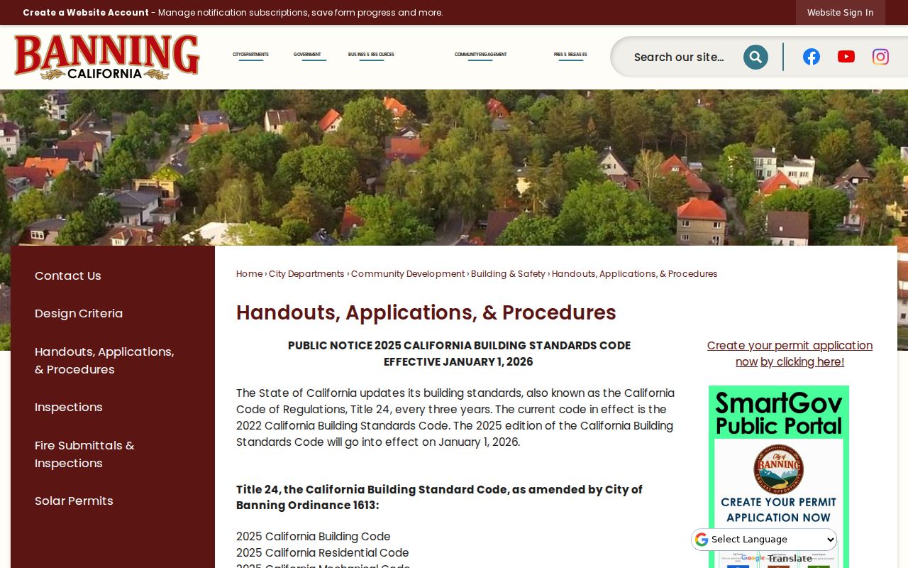
Address assignment is the local answer when a situs is new or changed. It does not by itself settle a postal or legal-boundary dispute.
Compare 92220, 92223, and 92230 Carefully
The pass region makes postal comparisons tempting. 92220 is the confirmed Banning ZIP. 92223 is associated with Beaumont, and 92230 with Cabazon. The neighboring labels can help explain why a search result or newspaper uses a nearby place name, but neither should be presented as a Banning-serving ZIP without an official parcel overlay.
When a boundary-edge address matters, save the USPS result, the GIS identify result, the assessor APN, and the recorder legal description. If a record says Banning but the parcel sits outside the incorporated line, keep both statements and identify which one is postal.
APN, PIN, ZIP, and Legal Description
These terms are easy to blur in a ZIP code directory, but each has a different role.
- ZIP code
- A USPS delivery routing area. It can cross municipal boundaries.
- ZIP+4
- A more precise delivery suffix attached to some addresses.
- ZCTA
- A Census statistical approximation of a ZIP area, not the USPS delivery polygon.
- APN
- The assessment parcel identifier used by Riverside County.
- PIN
- The assessment number format used by the county search; the public input omits dash and check digit.
- Legal description
- The recorded land description that controls identity in a deed, not a postal label.
A subdivision lot and block, recorded map, or metes-and-bounds description can matter when a postal label is not enough. Keep the legal description with any deed-chain research.
Find Banning Residents Within One ZIP
A ZIP code directory search should narrow geography before it names a person. The official route is a sequence of small checks.
For 92220, begin with the postal label and then ask what kind of Banning clue is actually needed. A parcel question belongs with the assessor and GIS. A title question belongs with the recorder. A city permit question belongs with Community Development. A personal registration question belongs with the voter status route and its permitted-use rules. An older name may be better served by the Library of Congress telephone reels or the census. These are separate channels, even when all of them display Banning, California. Keeping the channels separate also prevents 92220 from becoming a shortcut for a household list.
- Verify the mailing city and ZIP with USPS, using the exact address where available.
- Check whether the parcel is inside incorporated Banning in Map My County.
- Use the assessor address or APN search to identify the parcel and keep the situs label.
- Use SmartGov or the recorder for an owner or party clue, then verify the legal description.
- Move to the street, historical directory, or one-person workflow only after the ZIP boundary is clear.
This route does not create a public ZIP list of household members. It produces a defensible parcel or address lead and makes the source of every name visible.
Limits of a Banning ZIP Code Directory
A ZIP code directory cannot show every person who receives mail, every person at a parcel, or every parcel inside a city boundary. The assessor has no public ZIP filter, the recorder is not ZIP-keyed, and the voter status form is personal and authenticated. A postal area can include rural, unincorporated, common-area, or no-situs parcels.
Boundary check. Treat 92220 as a mailing clue. Confirm city jurisdiction with GIS, parcel identity with the assessor, and land identity with the recorder before relying on a Banning address conclusion.
For street-level work, use the Banning street directory. For a person, use the Banning resident lookup. The ZIP code directory is the geography filter, not the final identity source.